Elevation Heat Map Overlay on the Web App
The Elevation Heat Map overlay allows you to visualize elevation ranges by color; easily capturing differences in elevation or highlighting the elevation ranges you are most interested in.
How To Enable:
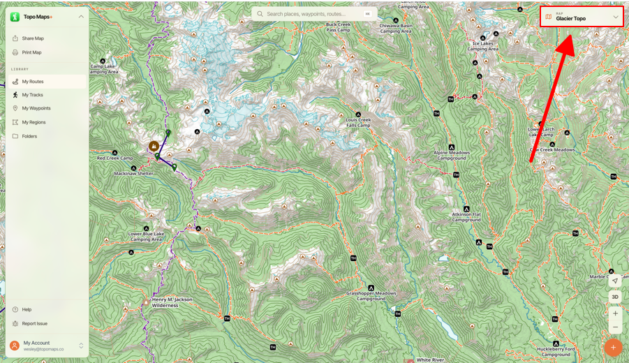
- Tap on the Maps button in the top right corner of the screen.
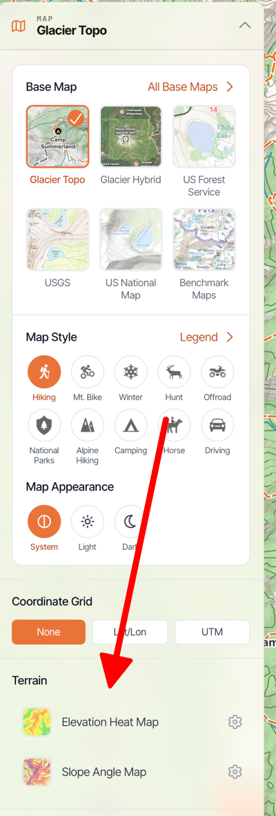
- Scroll down to Terrain and toggle on Elevation Heat Map.
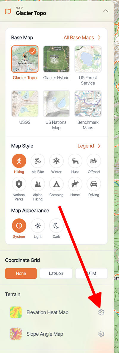
- If you want to configure colors then tap on the Settings Icon next to Elevation Heat Map.
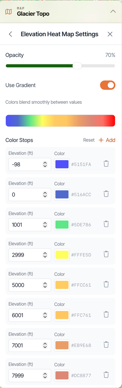
- Here you can configure certain colors for specific elevations.