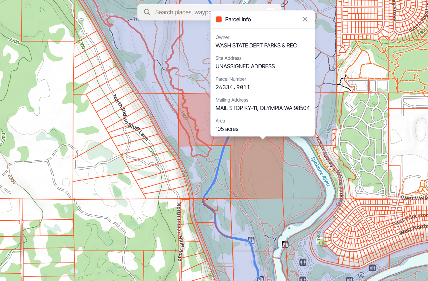
Land Ownership Overlays (Public & Private) on the Web App
Whether you’re a backcountry hunter needing to watch your public land management boundaries or a private land hunter; you prefer Topo maps, satellite maps, or a combination of the two, Topo Maps+ can set you up!
How To Enable:
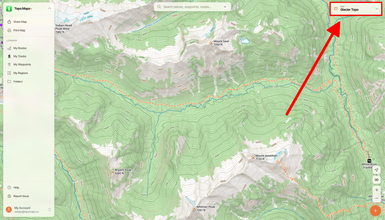
- Tap the Map Dashboard button in the top right corner of the screen.
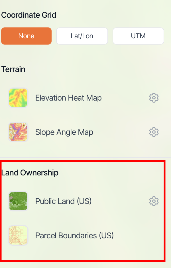
- Toggle on Public Land or Private Land under Land Ownership (US).
3. When land ownership overlays are selected, tap on a parcel to pull up information on it.
Note: “Tappable” land boundaries are only available for the Parcel Boundaries overlay (not the public land or any of the downloadable boundaries – these are purely visual).