Measuring Distances on Android
Topo Maps+ can give you all sorts of distance metrics:
- Map Scale
- Distance between you and a waypoint
- Distance between waypoints
- Distance between points
- How long a trail is
- Elevation gain or loss along a route/between points
- Trail segments
- Progress on Trail
Keep in mind, these distances are as the crow flies, so they won’t account for vertical distance.
1st Way – Map Scale:
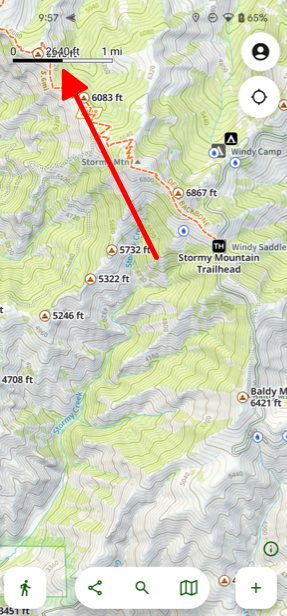
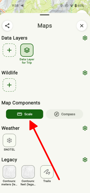
- When zooming in and out on the map, the map scale will be displayed so you can easily see the distance on the map. (If it’s not showing, then tap on the Map icon and scroll down to the Map Components section and tap Scale.
2nd Way – Distance Between Points:
- You can tap and hold anywhere on the map to pull up a waypoint.
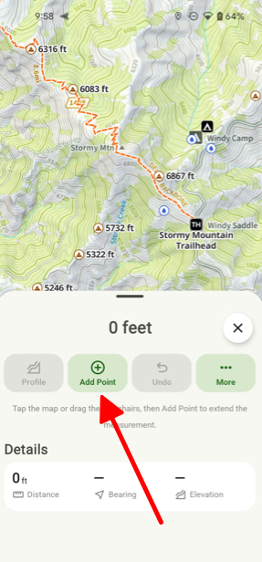
- Next tap Measure.
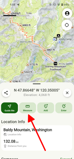
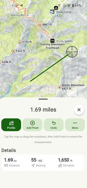
- Then tap Add Point.
3rd Way – Between Two Waypoints:
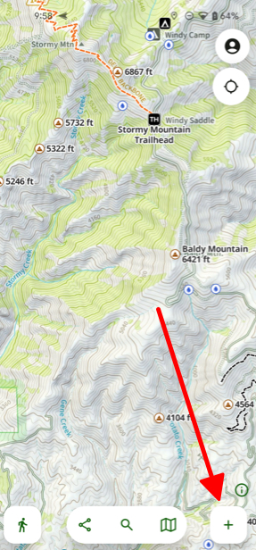
- First tap the Add button on the bottom of the screen.
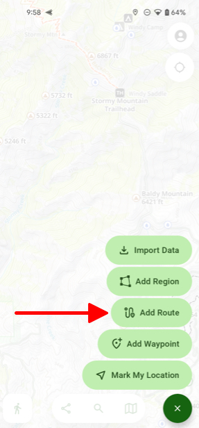
- Next tap Add Route.
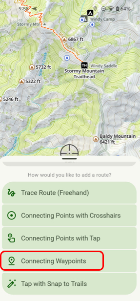
- Then tap the Connecting Waypoints method for tracing your route.